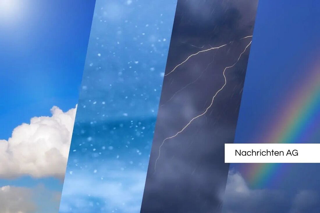
Storm gusts and cold slump: weather warning for East Westphalia!
Storm gusts and cold slump: weather warning for East Westphalia!
On Sunday, March 30, 2025, the German Weather Service (DWD) warns of strong gusts of wind, especially in Bielefeld and the surrounding circles, including Lippe, Gütersloh, Minden-Lübbecke, Herford, Höxter and Paderborn. The expected wind speeds are around 65 km/h, while even gusts of up to 75 km/h are possible near the showers or in higher altitudes. These extreme weather conditions are due to foothills of a deep that moves from southern Scandinavia towards the Baltic Sea. The warning time for the stormy gusts extends from 11 a.m. to 7 p.m., with the first gusts expected from 9 a.m.
In the regions concerned, maximum temperatures of 11 degrees in Bielefeld and Gütersloh as well as 10 degrees in Paderborn and Herford are forecast for Sunday. The colder air that is brought by the deep will create a rather uncomfortable weekend in connection with the stormy weather. The prediction for Monday, March 31, only promises moderate weather conditions with a cloudy sky and possible rain in the morning. From Tuesday, on the other hand, a change in the weather is expected that enables sunny and dry days with temperatures of up to 20 degrees. nw also reports about the upcoming change to the Central European summer time, at night from 2 a.m. came into force and will apply until October 26th.
weather conditions in Germany
According to the weather forecast from the DWD, which was issued on Sunday at 5:00 a.m., stormy conditions can also be expected in other parts of Germany. From the North Sea to the middle of Germany, wind speeds of up to 70 km/h (8 BFT) are expected, while on the North Sea coast and in higher mountains even gusts of up to 85 km/h can occur. Heavy wind gusts of up to 100 km/h (10 BFT) are quite likely on the chunk. In addition, in the northeast it is expected with isolated thunderstorms, which can also be accompanied by strong gusts of wind to 85 km/h.
In the Alps, meteorologists expect new snowfall, whereby above 800 m up to 30 cm of fresh snow could fall. In higher altitudes, there is even up to 50 cm in the amount of snow from 20 to 40 cm, in the elements of the eastern Alpine area. The risk of snow drifts in the free locations of the Alps and the high layers of the eastern low mountain ranges is an additional risk. The announced weather deteriorations affect the lessons for Monday, while the wind will gradually decrease.
outlook on weather development
Weather development by Wednesday, April 2, 2025, shows increasing weather calming. On Tuesday and Wednesday, stormy gusts (BFT 8) as well as exposed storm gusts (BFT 9) are expected in the Black Forest. From Thursday and Friday there are no more distinctive weather symptoms to be expected. This gives hope for a more stable weather conditions, which could bring more pleasant temperatures and possibly more hours of sunshine. Further updates will follow by Sunday, March 30, 2025 at the latest.
| Details | |
|---|---|
| Quellen | |


Kommentare (0)